Introduction
Signals intelligence and reconnaissance in connection with airborne platforms has long been pursued in various projects. Militarily oriented solutions go far back in the past. Both manned and unmanned sensor platforms have been proposed and used. The deployment concepts were characterized by strategically oriented tasks and large surveillance areas. The design of the flying sensors was based on the traditional approaches. Signal acquisition in conjunction with direction finding determined the technical objectives and specifications. The investment, operating and maintenance costs for these solutions were considerably high. Civilian use was excluded in practice.
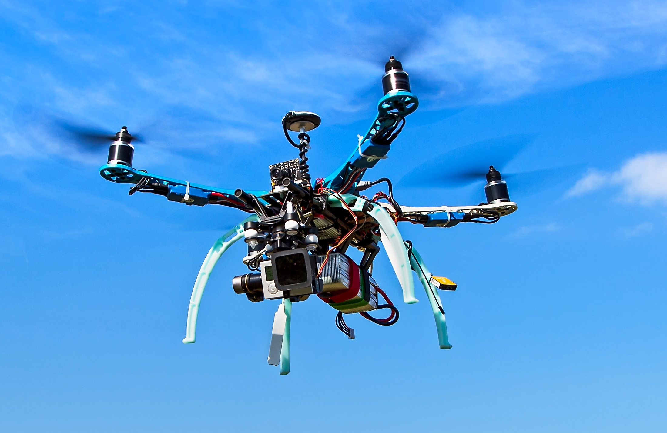
Today there is a wide range of cost-effective drone models with powerful components for photo, video, navigation and communication. Available electronics allow the connection of additional sensors. Software for the mission planning, control and real-time analysis of the imaging sensors is available in mature form.
The aim of the project is the design, development and implementation of a concept that combines the capacity of the imagery reconnaissance with the possibilities of signal intelligence. The goal is the advantageous use of commercially available components and a total economic solution.
Applications are not restricted to safety-oriented use. The targeted search for missing persons and the use in disaster scenarios are possible.
Objectives
The starting point is a commercial UAV or copter solution for professional use with sufficient flight performance and payload options. Included solutions for image and video capture should remain usable to support the mission. The combination of findings from imaging with additional information from the radio signal acquisition increases the meaningfulness of the results.
The signal acquisition component should, if possible, be realized using commercially available components. Software-Defined Radio (SDR) and suitable antenna solutions are applied. The miniaturization of special electronics for signal capture and processing, taking into account low power consumption, may be required.
The task of signal processing is the classification of signals and sources as well as the execution of suitable methods for localizing the interesting signal sources. A content evaluation should be possible as an option. Information and intelligence are partly stored and partly transferred to the ground station in real time. The goal is to determine the most complete and comprehensive situation picture in real time on the flying platform.
Additional possibilities arise in the controlled swarm operation of several platforms. The exchange of specific results in flight between the sensors opens new and interesting possibilities for increasing the accuracy and meaningfulness of partial results.
The limitations of the platform (SWaP - size, weight and power) define framework conditions, which are clearly different from the traditional reconnaissance equipment. On the other hand, the mobility of the platform, the ability to control the movement, also in conjunction with the imagery capabilities, offers new possibilities. The consequence of this is the need to at least partially redesign and implement methods and algorithms, taking into account the SWaP parameters.
| Technology | UAV, drone, signal processing, direction finding, localization, classification, sensor data fusion, tracking, demodulation, information processing. |
| Markets | Security agencies, network agencies, regulators, police, disaster control authorities. |
| Remarks | None. |
Links and downloads
 UAVSig Informationsblatt [pdf]
 UAVSig Information flyer [pdf]
- DITS Projekte [pdf]
- DITS Projects [pdf]
- Wiki: SIGINT
- Wiki: SIGINT
- Wiki: UAV
Refrences from Our Members
Literature from Different Sources